 |
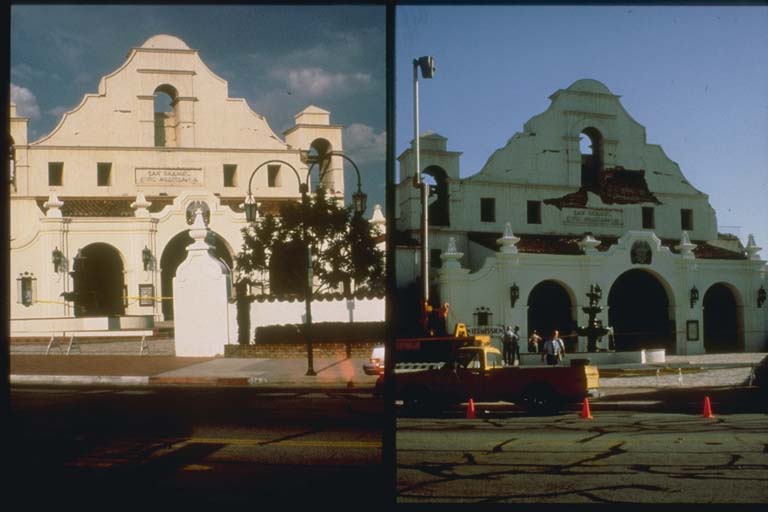
Epicenter: 34.0 degrees N, 118.1 degrees W. Magnitude: 5.9. Damage: $358 million.
Eight deaths. The fault which ruptured was located about 11 kilometers below the surface,
and 20 kilometers east of downtown Los Angeles. The fault was an extension of the
previously identified Whittier Fault. Severe damage was confined mainly to communities
of Los Angeles and near the epicenter. |