 |
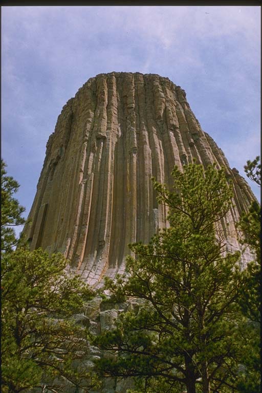
The hydrologic system, which includes all possible paths of motion of Earth's near-surface
fluids including air and water, is largely responsible for the variety of landforms
found on the continents. Heat from the sun evaporates water from oceans, lakes, and
streams. Although most of the water returns directly as precipitation to the oceans,
some of the water is recipitated over land as rain or snow. If it is precipitated
over land, it then begins its journey back to the sea as "runoff." The relentless
action of surface runoff, streams, and rivers, glaciers, and waves sculpts the rock
into intriguing and bizarre shapes. This set of slides includes examples of wave erosion,
wind and water erosion, valley shapes, and glacial rosion. The views are often dramatic.
Many were taken at U.S. National Parks and Monuments. |