 |
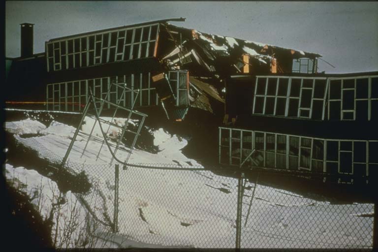
The Prince William Sound magnitude 9.2 Mw earthquake on March 28, 1964 at 03:36 GMT
(March 27 at 5:36 pm local time), was the largest U.S. earthquake ever recorded and
the second largest recorded worldwide. The earthquake was felt over a large area of
Alaska and in parts of western Yukon Territory and British Columbia, Canada. The area
of the damage zone and the duration of the quake (3 to 4 minutes) were extraordinary.
The earthquake caused 15 deaths and approximately $284 million in property loss. The
ensuing tsunami caused 124 deaths (106 in Alaska, 13 in California and 5 in Oregon)
and $116 million in damage. This set of slides shows geologic changes, damage to structures,
transportation systems, and utilities and tsunami damage. It features the effects
of four major landslides in Anchorage during the 1964 event. |