| August 1999 Izmit (Kocaeli), Turkey Images |
 |
On August 17, 1999, at 3:02 am local time (00:02 GMT) a magnitude (Mw) 7.4 earthquake
occurred on the northern Anatolian fault. The epicenter was located very close to
the south shore of the Bay of Izmit, an eastward extension of the Marmara Sea. The
location of this earthquake and its proximity to a populous region on the Bay of Izmit
contributed greatly to its damaging effects. The total estimated loss for port facilities
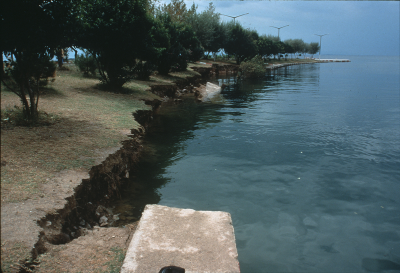
in the region was around $200 million (US). Subsidence and slumping caused much of
the coastal damage, but a tsunami was generated that also caused coastal damage and
deaths. |
|