| Geostationary Operational Environmental Satellite, R-Series (GOES-R) Extreme Ultraviolet
X-Ray Irradiance Sensors (EXIS) Level 2 Products |
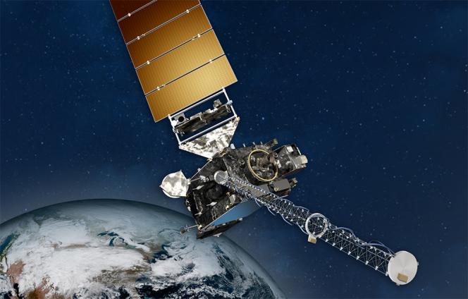 |
The EUV and X-Ray Irradiance Sensors (EXIS) measures solar irradiance at the very
short wavelengths where the Sun's output varies the most. EXIS has two primary components,
the X-Ray Sensor (XRS) and the Extreme Ultraviolet Sensor (EUVS). EXIS Level 2 data
are used by NOAA?s Space Weather Prediction Center to produce warnings for radio blackouts
when large flares occur. EXIS extreme ultraviolet data is used in models to help determine
upper atmospheric densities which impact satellite orbits. EXIS Level 2 data products
include measurements of irradiances in two X-ray bands, seven lines at extreme and
far ultraviolet wavelengths, and the Magnesium II index, The EXIS products are at
multiple cadences including high resolution data of 1 to several seconds as well as
1-minute and daily averages. Other products include flare summaries, flare locations
and extreme ultraviolet spectra generated by a proxy model. Data are in NetCDF-4 format. |
|