Versions Available
- 10 sheet set
(each 74 x 90 cm)
1:1,000,000 scale
at 38 deg. N
- Photo-reduction to
1:5,000,000 scale
- downloadable images
|
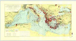
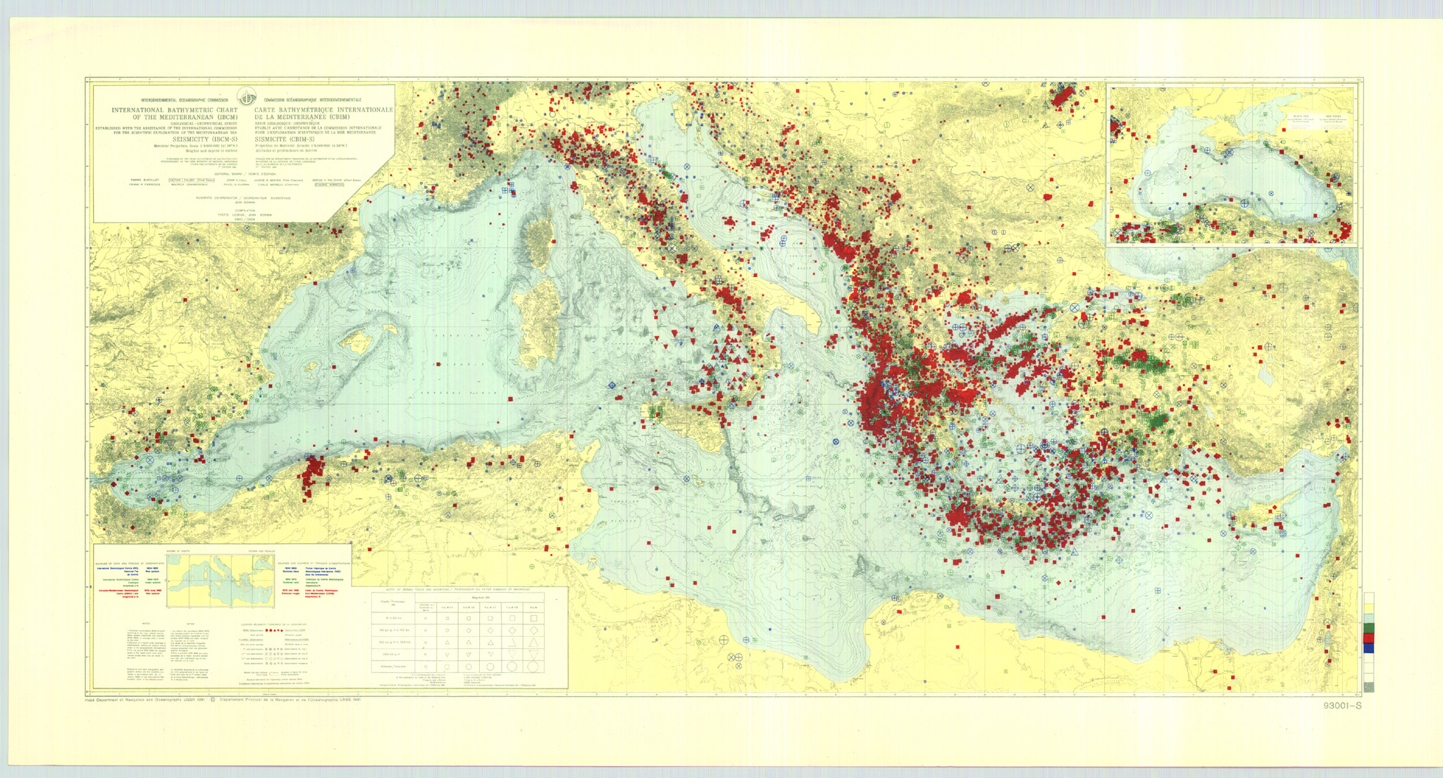
Seismicity Map of the Mediterranean Region (IBCM-S)
Information on ordering copies of IBCM maps
(and digital bathymetric contour data incorporated into the GEBCO Digital Atlas)
click on map above for a larger preview
This Mediterranean seismicity map was compiled by Yvette Legros and Jean Bonnin under the scientific co-ordination of Jean Bonnin of the European-Mediterranean Seismological Centre (EMSC) in Strasbourg, France. It is published by the Charts Division of the Head Department of Navigation and Oceanography in Russia under the authority of the Intergovernmental Oceanographic Commission (IOC) of UNESCO. Some 33,000 separate seismic earthquake epicenters in the Mediterranean region were recalculated and are plotted as colored symbols, with shape denoting depth of focus, size reflecting magnitude, and color (blue, green, red) showing the historical catalog (1904-1963; 1964-1975; 1976-1988) from which the events are taken. Explanations are in English and French. The bathymetry is from 200 m contours of the original IBCM with supplemental 20 m, 50 m, and 100 m contours at sea.
Two versions are available; a 10 sheet set (each 74 X 90 cm) at 1:1,000,000 scale at 38 degrees N, and a photo-reduction to 1:5,000,000 scale. An expanded explanatory brochure is in preparation. The earthquake catalog will be available at http://www.ogs.trieste.it/.
|
 Return to IBCM Home Page