|
Gravity DataGravity Data File Extensions
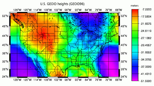
Land and marine gravity surveys, grids, models, and geoids are listed below. Data parameters include latitude, longitude, observed gravity and elevation, Bouguer Gravity Anomaly (land), and Free-air Anomaly (ocean). Each dataset contains documentation, including source contributor. Approximately 70 percent of the data are observed values--regional station data collections (separated primarily by contributors) and absolute gravity measurements. Grids and other derived summary data sets represent another 30 percent of the data. A standard format description for the land gravity data preserves fields unique to a specific data collection. Marine gravity data are stored in the MGD77 format. Standard terminology, as well as minimum / maximum values and histogram distributions for each parameter are available. Point distribution plots are .PCX and .GIF images.
|
| All MGG Data | All Marine Geophysics | Bathymetry | Seismic Reflection | Trackline Geophysical Data Viewer |

